From Once-in-40-Years to Once-in-Fifteen
The research team measured fire weather using the cumulative Daily Severity Rating, a scaled transformation of the Canadian Fire Weather Index that reflects how hard a fire is to suppress once it starts. In Ontario, the seven-day peak severity that drove this summer's rapid blow-ups now carries a 15-year return period and was made about 3.5 times more likely; the 30-day measure sits at a six-year return period. In the Northwest Territories, the same short-duration event now recurs about every two years, according to World Weather Attribution, against roughly 50 years in a cooler climate.
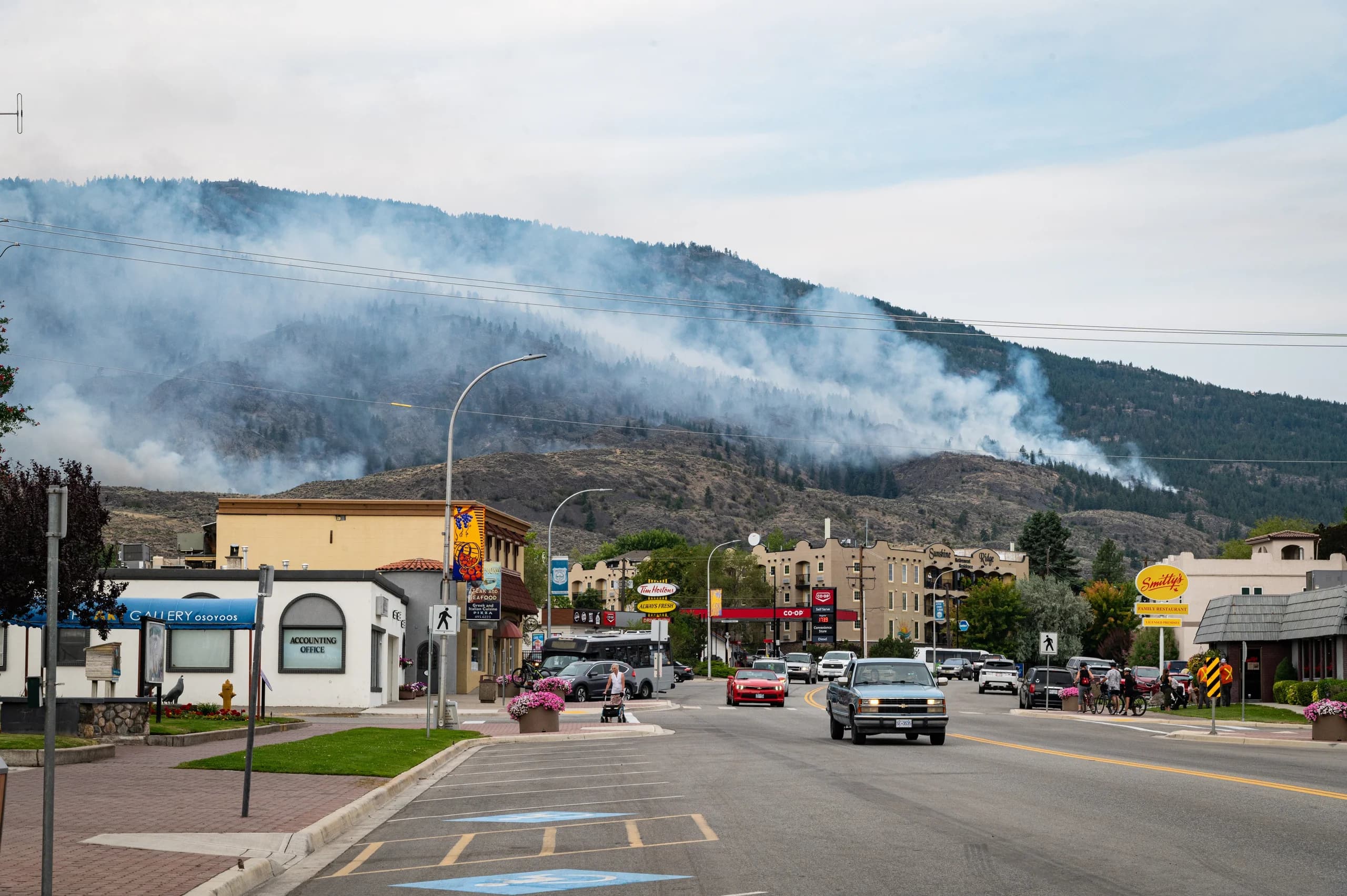
The speed was the headline. About 94 per cent of the area burned this season accumulated in the five weeks between late June and late July, on the back of extreme heat, dry fuel, and lightning. That kind of sudden, concentrated loss is exactly what catastrophe modellers and insurers notice first. The study was careful about what it did not claim, too: it found no attributable trend in long-run, two-year drought, which keeps the finding tightly scoped to fire weather rather than every dry season.
Ontario is the province most exposed to this shift, but the pattern is national, and where you live changes what "elevated risk" actually means for your home.
How wildfire season is playing out across the country, region by region is a useful companion read for putting your own address in context.
A "return period" is shorthand for how often an event is expected on average. A 15-year return period means a roughly one-in-15 chance in any given year — not a promise of 15 quiet years. Insurers read it as an annual probability, and annual probability is what gets priced.