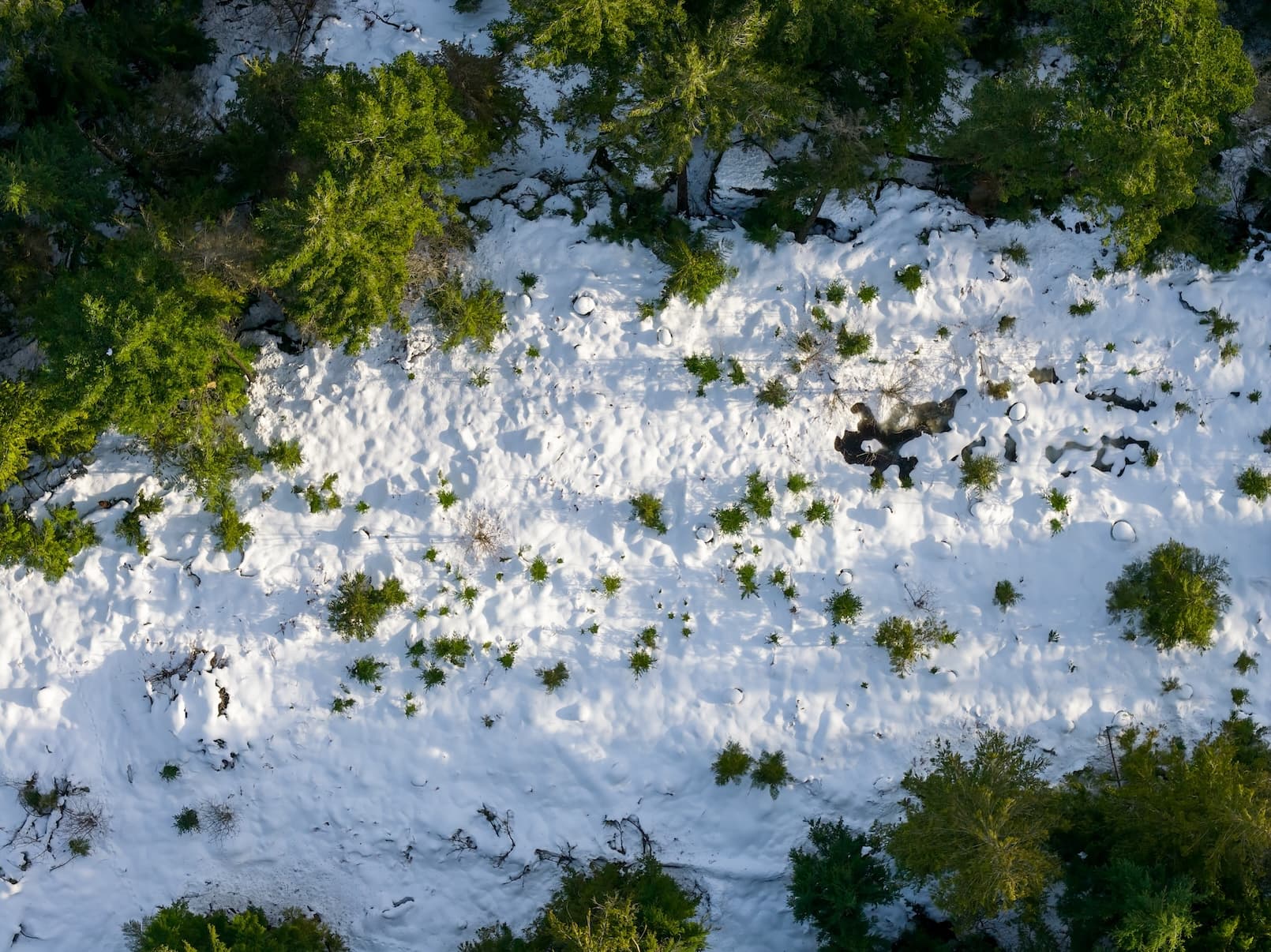
The southern half of the map is a different article entirely. Vancouver Island at 44%, the Nicola at 51%, the Okanagan at 58%, and the Skagit at 26% are not just low readings — they are the kind of readings that compress the window before summer water stress and fire-season pressure start to bite. The bulletin notes that several Okanagan and South Coast stations have posted near- or all-time low snow-water equivalent values, which is a different kind of signal than a simple below-average year. Low-elevation snow is disproportionately important for soil moisture recharge and early-season streamflow. When that layer is missing entirely, the drying starts early and accelerates fast.
A year-over-year comparison sharpens the point. Even as the provincial average climbed from 79% to 92%, several southern and coastal basins — Vancouver Island, the South Coast, Lower Thompson, Lower Fraser, Okanagan, and Nicola — are actually worse off than they were in 2025. The improved headline conceals regional regression.
This is where the two-track framing matters most. For homeowners in these regions, the relevant preparation vocabulary is not sandbags and sump pumps. It is water-supply readiness and wildfire hardening. The provincial government's water-conservation guidance frames conservation as "critical in summer months," when precipitation drops while demand climbs — a dynamic that starts earlier and hits harder in a low-snow year. Well draw-down, reservoir storage, irrigation efficiency, and awareness of local restrictions all move up the priority list.
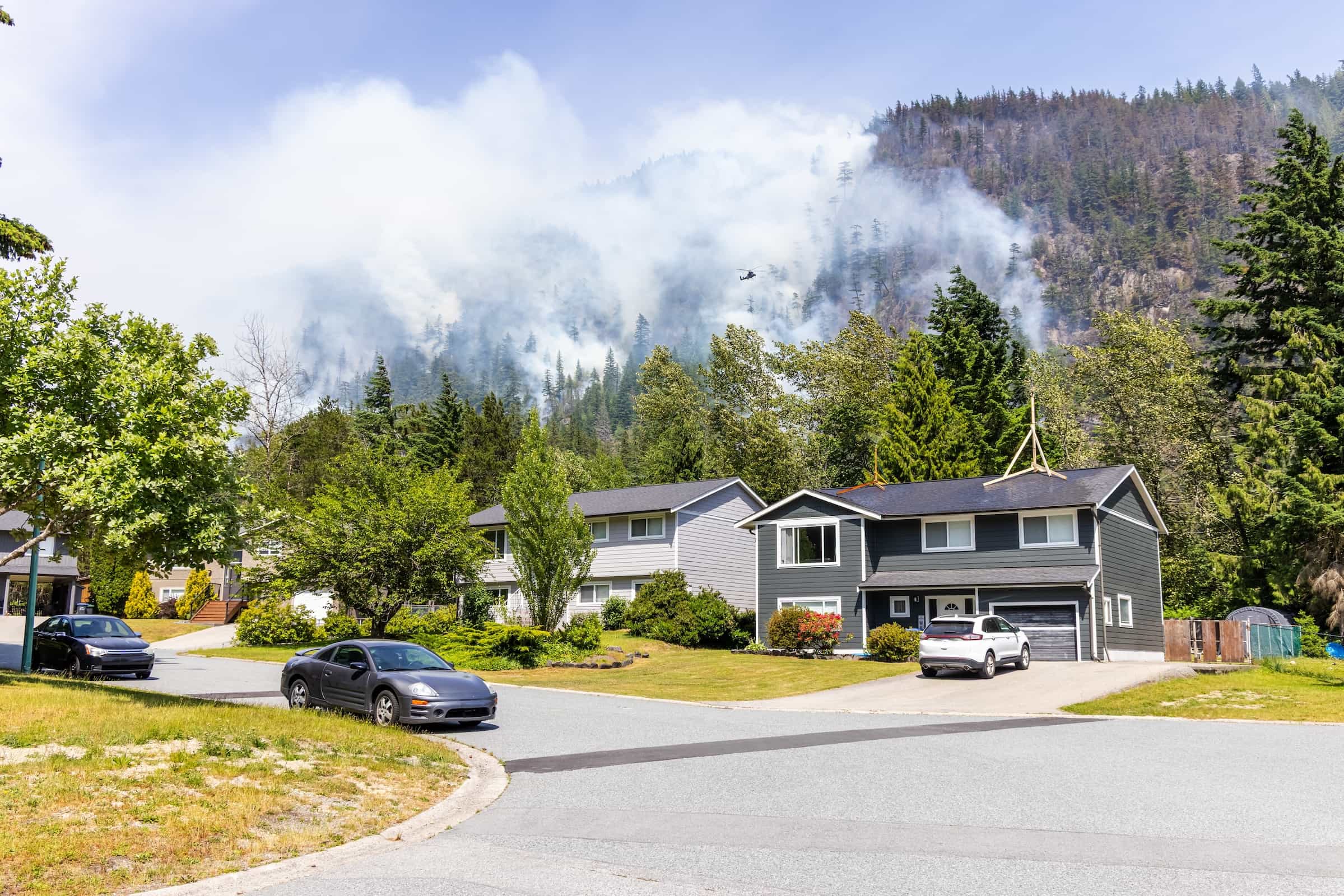
On the fire side, the FireSmart BC Begins at Home guide is the standard reference. Its core recommendations — a 1.5-metre non-combustible zone around the home, gutters and building corners kept clear of needles and debris, bark and pine-needle mulch kept out of the first 10 metres, firewood moved away from structures, and the same principles extended to sheds and outbuildings within 10 metres — are not novel. What's different this year is timing. An early dry signal compresses the runway. Work that might reasonably be scheduled for late May is better done in April. Our wildfire season prep checklist organizes the full home-hardening sequence for Canadian properties.