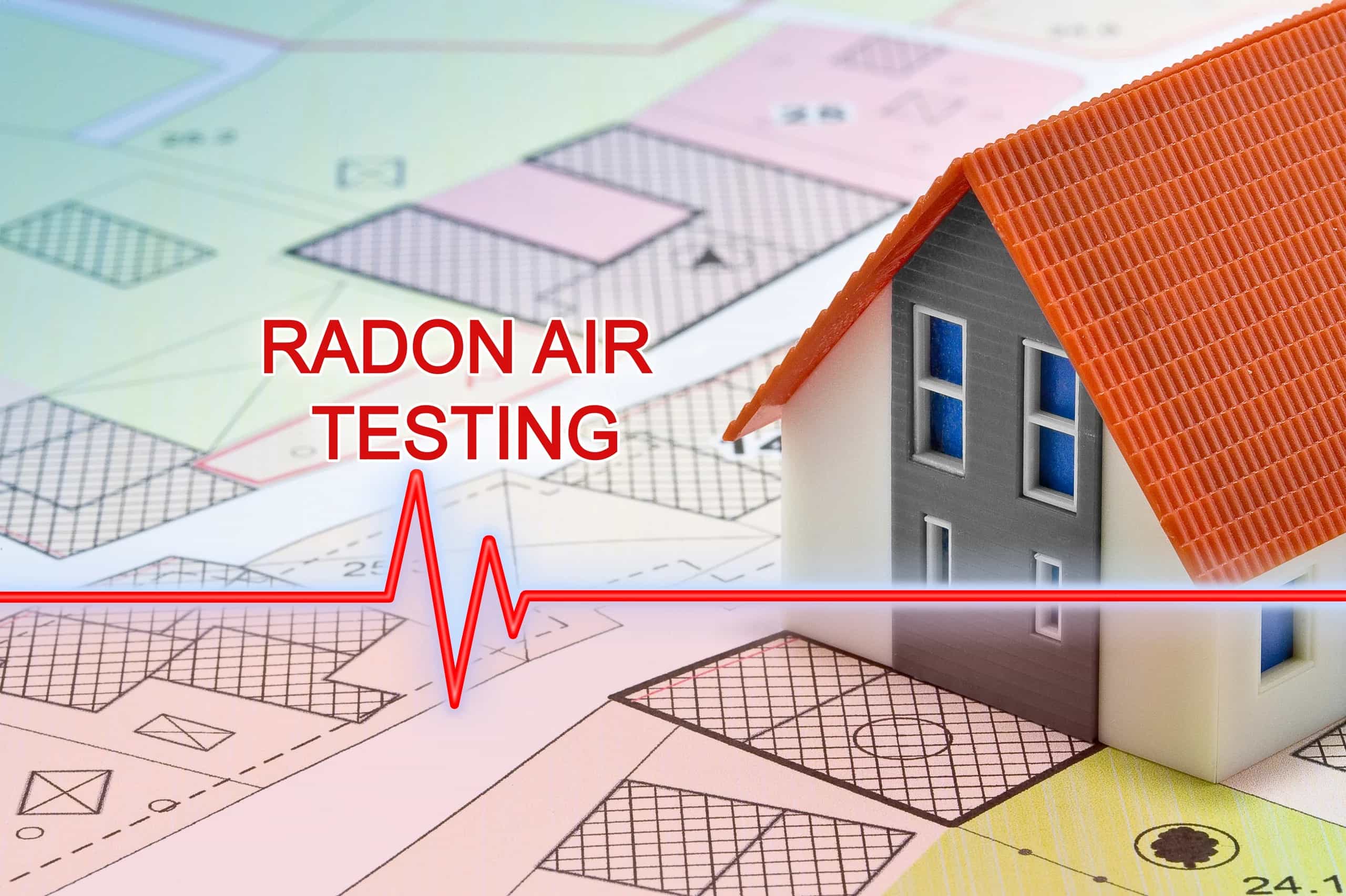
Is Your Area at Elevated Risk for Radon?
Radon is the leading cause of lung cancer in non-smokers, and it varies wildly by region. Enter the first three characters of your Canadian postal code to see how often homes in your area exceed Health Canada's 200 Bq/m³ guideline — shown at both your postal code and your broader region, where regional data is available.
Why postal code matters
Radon comes from uranium in the ground beneath your home. Geology varies by region — which means some neighbourhoods have significantly higher radon potential than others. Saskatchewan, Manitoba, New Brunswick, and the Yukon have some of the highest levels in Canada, but elevated readings have been found in every province and territory.
About this tool
This tool pairs Health Canada's 2009–2011 Cross-Canada Survey (13,567 homes) with the Evict Radon study's 2024 Cross-Canada Survey (~25,000 homes, 85 regions). Where both exist, we show your postal code alongside your broader region so you can see your area's measured radon profile at two different levels of granularity.
Related Reading
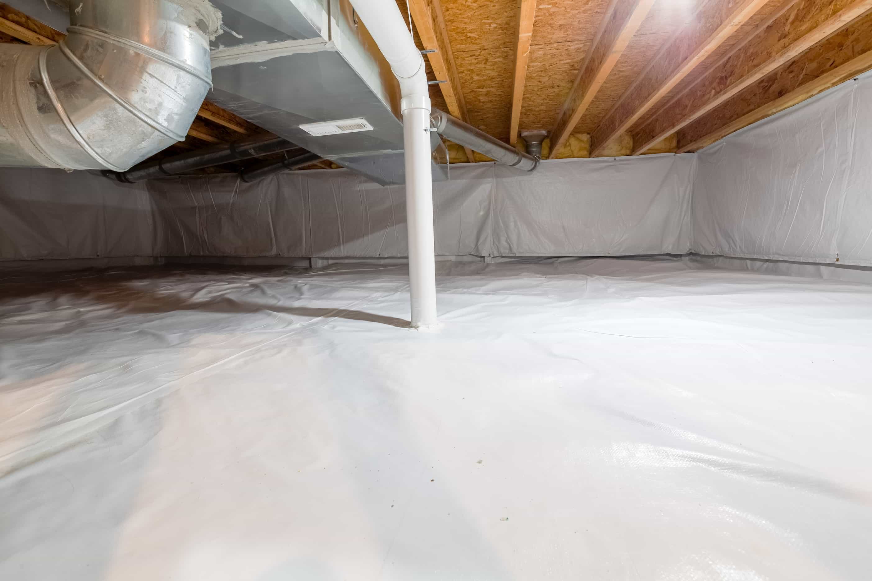
How Radon Mitigation Systems Work: A Canadian Homeowner’s Guide to Reducing Radon Levels
Radon Levels by Province: Canada's Highest-Risk Areas (and How to Test)
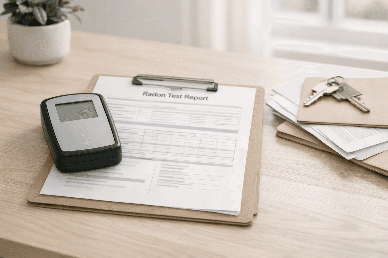
Radon Testing for Home Sales in Canada: What Buyers and Sellers Should Ask For
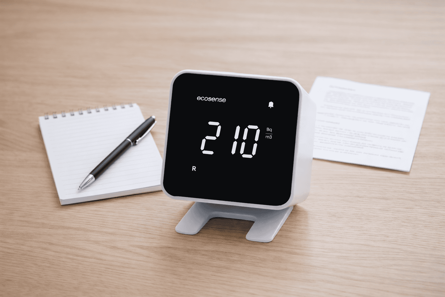
Understanding Radon Test Results: What to Do With Low, Borderline, and High Readings
Sources: Health Canada Cross-Canada Survey of Radon Concentrations in Homes (2009–2011, Open Government Licence) and the Evict Radon 2024 Cross-Canada Survey. This tool is for informational purposes only and does not replace professional radon testing. The Canadian radon guideline is 200 Bq/m³.