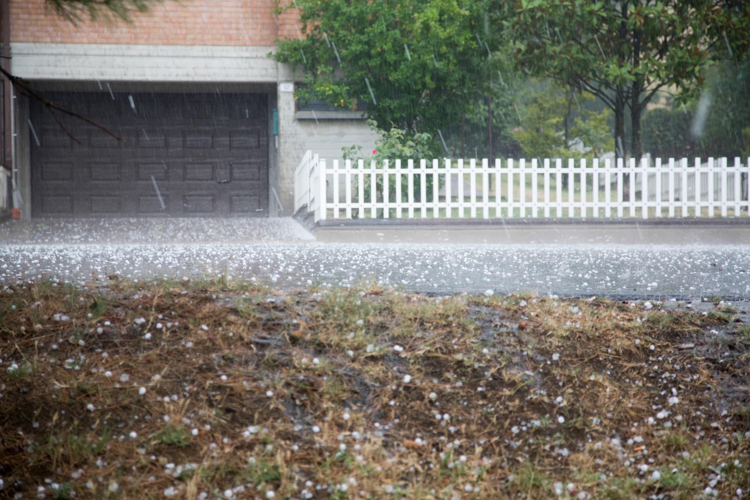
The Weather Network's Forecast Centre reported on Wednesday, August 12, that a highly moist, unstable air mass over southern Ontario, paired with a moderately strong northwest flow high in the atmosphere, will build a severe thunderstorm environment through the afternoon and evening. The hazards are localized flooding, large hail, and strong wind gusts. A weak supercell is possible.
For residents and commuters across the Barrie area, the Greater Toronto Area and the Niagara Region, the practical window is this afternoon into the drive home. The figure that should get Niagara's attention is not dramatic on its own: roughly 30 millimetres of rain. The problem is where it is landing.
That ground is already full. Two rounds of intense rain over the past two and a half weeks have left Niagara's soil saturated, and saturated soil changes the math. Water that cannot soak down goes lateral and up — against foundation walls, into window wells, and back through basement floor drains. Today's story is less about the rainfall total than about what a full sponge does with one more squeeze.