Extreme Heat Warnings Blanket Southern Ontario and Much of Canada as Cooling Costs Climb
A multi-day orange-level event turns a weather story into a household-systems story
By
Published: June 30, 2026
Credit: Shutterstock
Key Takeaways
•Environment Canada has issued orange-level extreme heat warnings for Toronto, Hamilton and Niagara from June 30 through Friday, with humidex values forecast in the low- to mid-40s.
•Multi-day heat events compound indoor heat gain, push central AC and heat pumps to near-continuous runtime, and lift electricity bills — especially on Ontario's on-peak window from 11 a.m. to 5 p.m.
•A short, non-technical pre-event checklist — fresh filter, clear condenser, closed sun-facing blinds, ceiling fans set counter-clockwise — meaningfully cuts cooling load before the hottest days arrive.
Environment Canada issued orange-level extreme heat warnings across southern Ontario on June 29 and 30, 2026, covering Toronto, Hamilton and the Niagara region, with heat alerts active across most provinces and territories. Forecasters are calling for humidex values that feel like 42°C, with the worst conditions expected Wednesday and Thursday and the event persisting through Friday and possibly into the weekend.
For homeowners, this is less a weather story than a household-systems and cost story. Multi-day heat does not just spike the thermometer; it stretches cooling equipment, lifts electricity bills, and crowds HVAC service queues at exactly the moment a breakdown is most likely. The runtime arithmetic compounds. The bill arithmetic compounds. The reliability arithmetic compounds.
The window for low-effort prep is now. A handful of non-technical steps — filter, fan direction, condenser clearance, shading, and a basic understanding of when your hydro rates change — can blunt both the comfort hit and the bill before the hottest days land.
Stay on top of Canadian homeowner news
Advertisement
What an orange-level warning actually means
An orange-level alert is the federal weather service's signal that severe weather is likely to cause significant disruption or health impacts that are major, widespread, and potentially multi-day, according to Environment and Climate Change Canada. That last word matters most for this story. Orange is not a one-afternoon spike. It is a duration call.
The Toronto warning, issued early on June 30, projects daytime highs of 31°C to 34°C with some areas potentially reaching 37°C, and overnight lows of 21°C to 25°C — a warm-night profile that gives houses and air conditioners almost no recovery time between days. Hamilton's warning carries the same impact and confidence ratings, with Copetown-area forecasts pegging Tuesday's humidex at 43 and Wednesday's at 44. The Niagara forecast adds humidex 42 across Tuesday and Wednesday. Multiple southern Ontario alert pages — including Caledon, Kitchener, Grafton, and Ajax — describe the event as "the first heat event of the season."
The humidex framing is more than a comfort metric. Readings between 40 and 45 fall in the federal "great discomfort; avoid exertion" band, and any value above 40 is considered extremely high. That high-humidity profile is what flips this from a temperature story to a runtime story inside the home: dehumidification work happens whether or not the thermostat setpoint moves, and the compressor pays for it either way.
Advertisement
Why multi-day heat becomes a runtime and cost story
A single hot afternoon is something houses can absorb. Thermal mass in the walls, floor, and furniture buffers the indoor temperature for hours, and overnight cooling resets the building back toward setpoint before the next day starts. A multi-day event removes that reset. Daytime highs in the mid-30s combined with overnight lows above 21°C mean the indoor envelope never fully unloads. Cooling equipment that would normally rest at night keeps running just to pull humidity and accumulated heat back down before the sun comes up again.
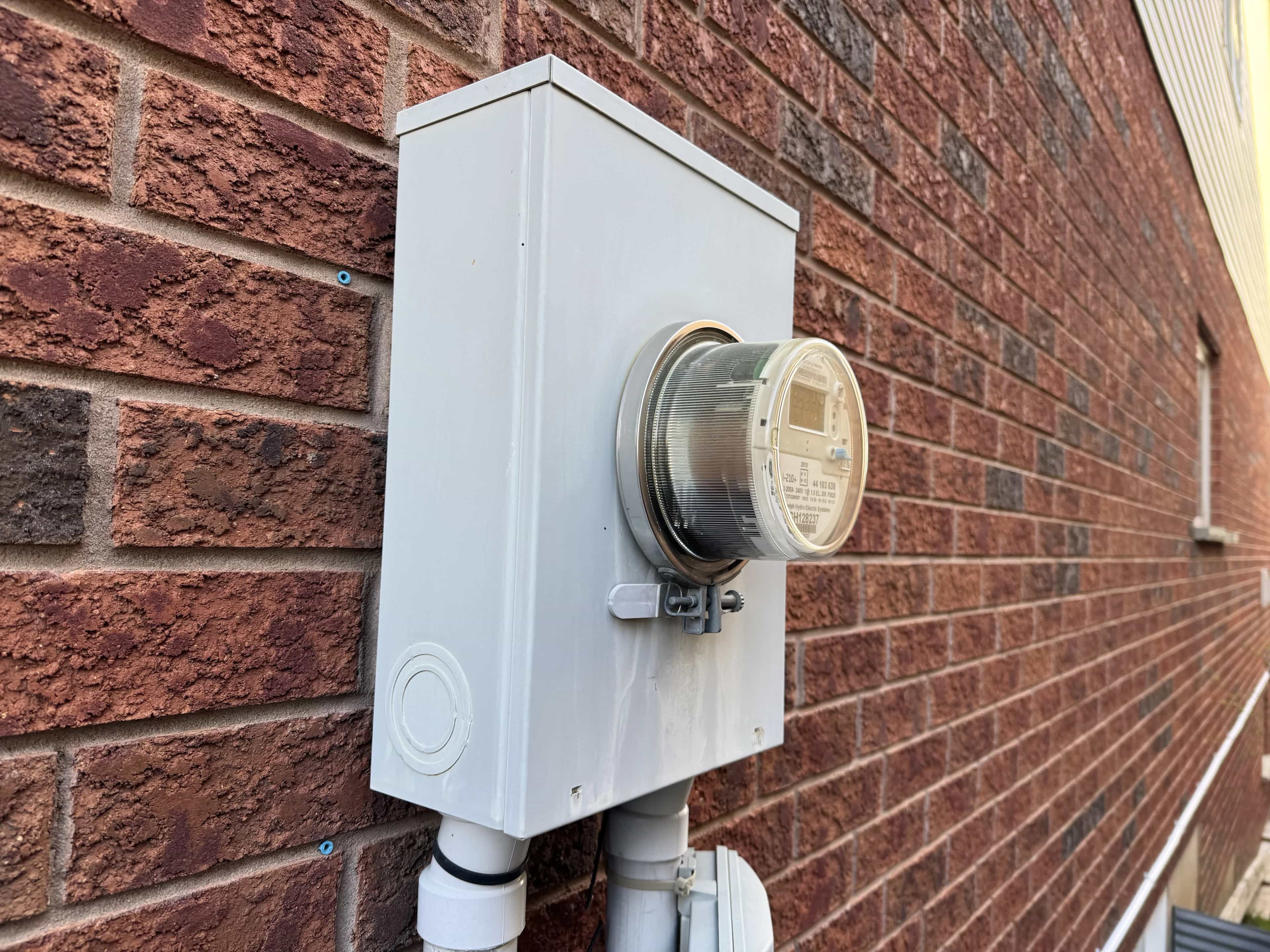
The bill consequence shows up in two places: more total runtime, and more of that runtime landing in the most expensive part of the day. Ontario's current Time-of-Use summer schedule prices on-peak electricity at 20.3¢/kWh from 11 a.m. to 5 p.m., mid-peak at 15.7¢/kWh from 7 a.m. to 11 a.m. and 5 p.m. to 7 p.m., and off-peak at 9.8¢/kWh from 7 p.m. to 7 a.m., according to the Ontario Energy Board. On-peak overlaps almost exactly with the hours air conditioners and heat pumps are working hardest. For customers on Ultra-Low Overnight pricing, the spread is sharper still — 3.9¢/kWh from 11 p.m. to 7 a.m. against 39.1¢/kWh from 4 p.m. to 9 p.m., a tenfold difference between the cheapest and most expensive periods.
There is one timely wrinkle in this event. Wednesday, July 1, 2026 is Canada Day, which the OEB's 2026 holiday schedule treats as all-day off-peak for TOU customers and weekend-style pricing for ULO customers where applicable. One of the forecast's hottest days will be priced at the cheapest rate. That changes the bill story for that specific day, and gives homeowners a real reason to lean on cooling on Canada Day rather than push it off to "save" — the saving has already been priced in.
Tip
If you are on Time-of-Use or Ultra-Low Overnight pricing, treat the overnight and early-morning windows as your free runway. Pre-cooling the house by a degree or two before 11 a.m. shifts work into the cheaper part of the rate schedule and reduces what the system has to do during the on-peak block.
Advertisement
The pre-event checklist that actually lowers load
The interventions that move the needle in a heat event are not technical. They are airflow, shading, and behaviour — the things a homeowner can reasonably finish in an afternoon, before the worst days arrive.
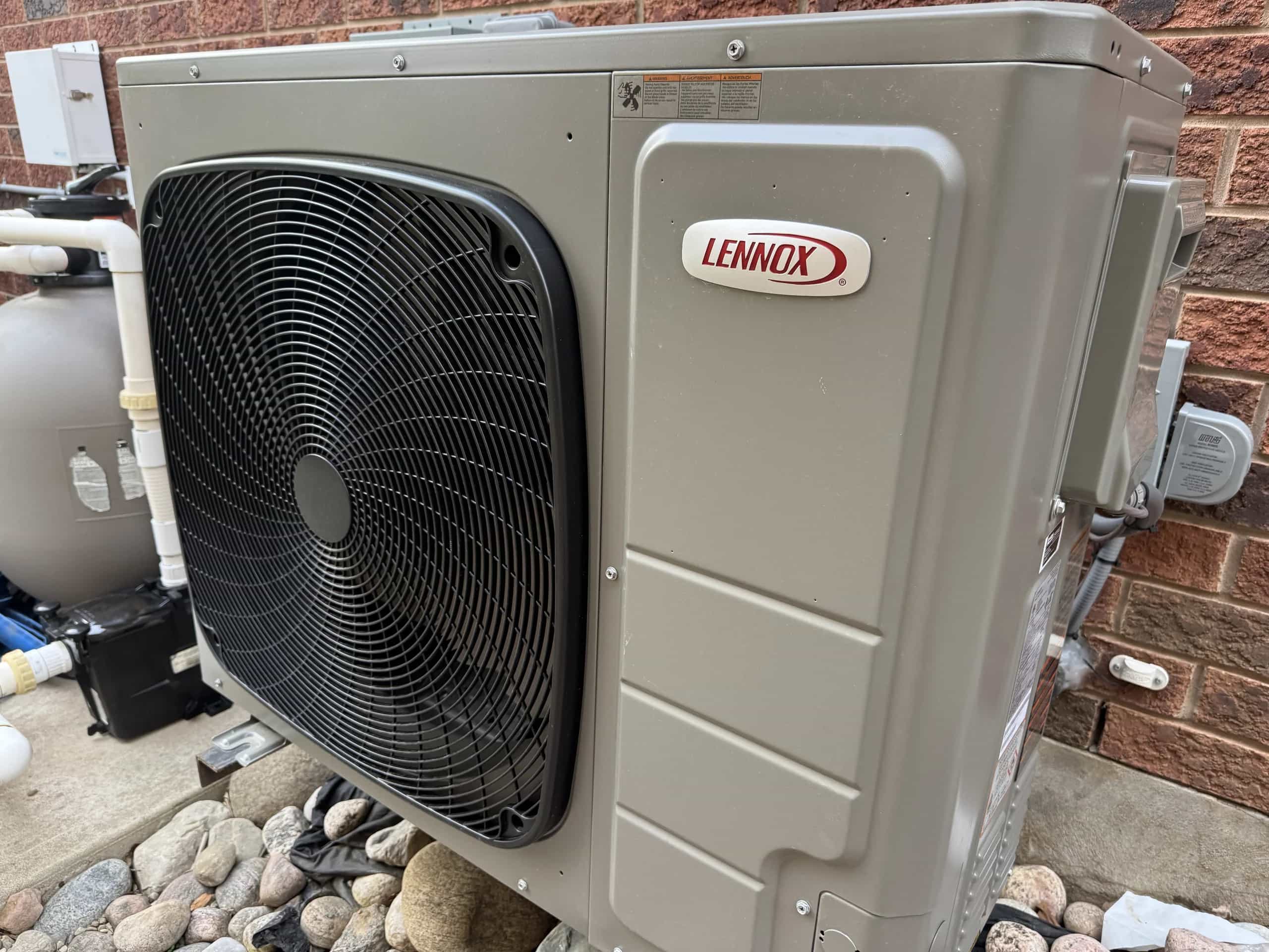
The first one is the filter. A clogged or aging filter chokes airflow across the indoor coil, which makes the system work harder and run longer to deliver the same cooling. Hydro One's home cooling guide frames it directly: a dirty filter restricts airflow and forces the equipment to compensate. Changing or cleaning the filter is the highest-leverage 10-minute task in the house this week. The same Hydro One guidance flags two other quick wins: clear plants, weeds, and yard debris away from the outdoor condenser so the unit can move air freely, and run ceiling fans counter-clockwise so the wind-chill effect lets you raise the thermostat by about 4°C without losing perceived comfort.
The second lever is solar heat gain. Windows can account for up to a quarter of a home's total heating and cooling loss, and keeping coverings drawn on sun-facing windows during the day is one of the fastest ways to cut the indoor load. The Canada Mortgage and Housing Corporation gives the same advice — close blinds or drapes in summer, lean on fans, and use a programmable thermostat to avoid cooling an empty house at full setpoint. The reason it works is straightforward: sunlight hitting interior surfaces gets absorbed and re-radiated as heat that the AC then has to remove. Blocking it at the window is much cheaper than removing it at the coil.
The third is maintenance posture. Annual furnace and air-conditioning servicing can reduce operating costs by up to 10% and extend equipment life, per the same Hydro One cooling guidance. That is not a number to chase during a warning — service queues are already stretched — but it is a planning data point for the shoulder season. The lesson during the event itself is more modest: keep the airflow path clean, do not stack laundry, ovens, and dishwashers into the on-peak window, and let the system do its job without making it fight you.
Important
Do not respond to a struggling AC by dropping the thermostat dramatically. Setting the system to 18°C will not cool the house faster — equipment delivers cooling at a fixed rate. It will run longer, draw more electricity at the on-peak rate, and increase the chance of a failure during the hours when service availability is worst.
Action
Why it matters
When to do it
Change or clean the filter
Restores airflow across the indoor coil; cuts runtime
Before the first peak day
Clear the outdoor condenser
Lets the unit reject heat efficiently
Before the first peak day
Close sun-facing blinds
Cuts solar heat gain at the window
Each morning, peak days
Set ceiling fans counter-clockwise
Lets you raise the thermostat ~4°C at the same comfort
Now, leave running while rooms are occupied
Pre-cool before 11 a.m.
Shifts load to cheaper rate hours
Tuesday through Friday
Stagger heavy appliance runs to off-peak
Reduces stacked indoor heat and peak-hour cost
Evenings and overnight
Advertisement
Early signs your system is fighting the heat
When a central AC or heat pump is running near-continuously for several days, the failure modes that normally accumulate over a season can show up in a week. None of these are repair instructions, and none should be acted on with tools. They are signs to call a licensed contractor early — ideally before Wednesday — rather than late.
The most common early signal is reduced cool air at the registers despite the system running constantly. That can be airflow (filter, blocked vents, a dirty coil), refrigerant (a leak that has been quietly developing), or a fan motor losing capacity. Another signal is short-cycling — the outdoor unit clicking on and off in short bursts. Short-cycling under heavy load is hard on the compressor and rarely fixes itself.
Two more deserve attention during a humid event. Ice on the indoor coil or on the refrigerant lines outside means airflow has dropped or refrigerant charge has slipped; running the system in that state damages the compressor. Pooled water around the indoor unit means the condensate drain is blocked, which can also trigger a safety shutoff in some installations. Both warrant a service call, not a workaround.
For homeowners reading this who are weighing what kind of cooling system they want long term, the switching to a heat pump guide covers the trade-offs in detail. This week is not the week to make that decision. This week is the week to keep the system you have running cleanly through Friday.
Advertisement
How this event fits the season
The 2026 cooling season has not been quiet. A similar southwestern Ontario heat warning hit earlier in the year with humidex values near 44°C, and Environment Canada's hotter-than-normal summer outlook flagged cooling costs and wildfire smoke risk as recurring themes for the months ahead. The June 29–30 warning fits that pattern: multi-day, humid, and squarely a household-systems event for anyone running a central system.
The takeaway for homeowners is not panic. It is timing. The filter change, the condenser clear, the closed blinds, and the fan direction — done before Wednesday — are the cheapest insurance available against a mid-heatwave breakdown and a startling July hydro bill. The warning runs through Friday. The window to prepare runs through Tuesday.
Stay on top of Canadian homeowner news
About the Author
Ryan May
Senior Contributor / Founder
Ryan is the founder of Homeowner.ca and a proud Canadian homeowner based in Guelph, Ontario. Over his 25-year career in digital publishing, he has focused on transforming complex information into clear, practical guidance that helps people make confident, well-informed decisions.